
Reviewed · ENGLAND
Map Reading and Navigation Course in Peak District
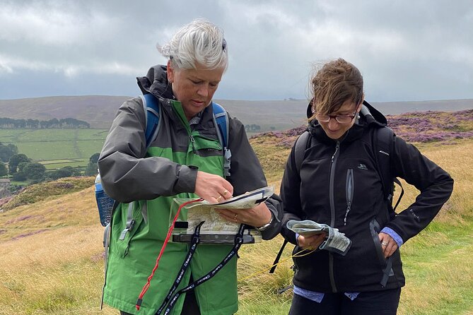
The most useful part of this Peak District day is that you do not stay in a classroom memorising compass parts. You learn the basics at the Adventure Hub, then take those skills onto the hills and moorland around Bamford. I like the small maximum group of eight, which gives you a fair chance to ask questions, and I like the way the course is built for people who want to begin walking independently rather than collect theory for its own sake.
I also like the calm, practical teaching style. Instructors including Gavin, Rick, Paul, Guy and Richard have been praised for clear explanations, useful exercises and good humour. The main drawback is simple: this is a full outdoor day in all weather, and lunch is not provided, so you need to arrive ready for changing conditions and carry your own food.
Key points to know before booking
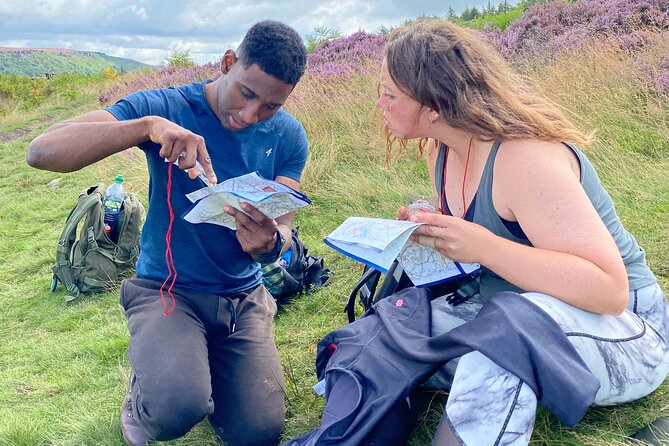
- A true beginner’s course: You learn map basics, grid references, scale, rights of way and compass use from the ground up.
- Classroom plus hill practice: Theory at the Adventure Hub is followed by practical navigation in the nearby Peak District.
- Small groups: The course is limited to eight people, useful when you need personal guidance with a map or compass.
- Good for rusty walkers: It suits beginners and people returning to map reading after many years away from it.
- Tea and coffee are included: You get hot drinks at the training base, but lunch is your responsibility.
- One day for $136.73: The price is reasonable if you want focused instruction and a practical starting point for self-guided walks.
Starting at the Adventure Hub near Bamford
Your day starts at 9:30 am in Bamford, in the Hope Valley, at the Adventure Hub. The setting matters. You are not learning navigation in an urban meeting room and then being sent off to practise somewhere far away. The surrounding Peak District hills and moorland are close enough to become your working classroom.
The training facility gives the day a useful rhythm. You can begin with maps, kit and basic explanations before heading outside. Tea and coffee are provided, which is a small touch but a welcome one when the weather is cool or wet.
The meeting point is near public transport, and the activity returns to the same place at the end. That makes the day easier to plan than a point-to-point walk. You should still check your own route to Bamford before booking, since the supplied details do not specify train or bus times.
The group limit of eight is one of the strongest practical features. Navigation can be hard to follow when an instructor is speaking to a large crowd. Here, you should have room to handle a map, compare your reading with the instructor’s and ask for help before a small mistake turns into confusion.
What else people book in England on the same trip:
- Stonehenge, Windsor Castle, and Bath from London
★ 4.5 · 18,662 reviews - London Big Bus Hop-On Hop-Off Tour with Optional River Cruise
★ 3.5 · 10,803 reviews - London Small Group Tour of Historical Pubs
★ 5.0 · 10,422 reviews
Learning the map before following the ground
The course begins with the foundations of navigation. You work through the theory and use of maps, including grid references, scale and rights of way. These topics can sound dry on paper, but they are the building blocks that let you understand where a path goes and how a printed route relates to the ground in front of you.
Grid references are especially useful for anyone who has used a paper map but never felt sure how to describe a precise point. Scale helps you judge distance rather than relying on guesswork. Rights of way add another layer, since a route shown on a map is not simply a line to follow without thought.
I like that the teaching is aimed at self-guided walking. The point is not to turn you into an expedition leader in one day. The point is to give you enough structure to plan and follow straightforward walks with more confidence.
The instructors appear to adjust their teaching to the people in front of them. That matters for a mixed beginner group. One person may need extra help reading contours, while another may mainly need to refresh compass work forgotten decades ago.
Several instructors have received particular praise for their manner. Gavin is noted for creating a relaxed atmosphere, while Paul is described as making the day informative and fun. Guy is noted for adapting the day to the group’s needs, and Richard is described as helpful and clear. Rick has also taught longer navigation courses and is praised for patient instruction. The instructor on your date may be different, but the pattern is clear: expect practical teaching rather than a stern military-style lesson.
Compass work without the usual confusion
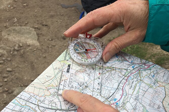
A compass is a simple tool, but using it well takes practice. The course covers different types of compasses and how to use them, then shows you how to set the map and check direction.
Setting the map is one of those small skills that can change the way you walk. Instead of holding the map in an arbitrary direction and trying to match every feature mentally, you orient it to the ground around you. From there, the map becomes easier to read and your route choices make more sense.
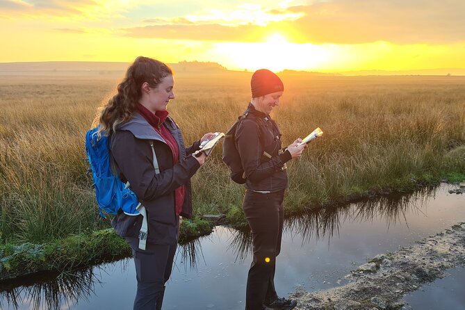
You should also expect to practise taking and checking a direction. That is more useful than hearing a ten-minute explanation and then putting the compass away. The hills near the training base give you a chance to see how the tool works outside, where wind, weather and uneven ground make the task feel real.
Do not expect the compass to replace common sense. Good navigation uses the map, the compass and what you can see around you. The course is valuable because it begins to connect those three things.
If you have not touched a compass for years, do not let that put you off. The material is designed for beginners, and the small group should make it less awkward to admit that a bearing or grid reference has not yet clicked.
Taking the lessons into the Peak District hills
The practical part is the reason to choose this experience instead of learning from a book. You spend most of the day outside, using the tracks and trails around the Adventure Hub to practise what you have just learned.
The Peak District is a fitting place for this work. You have hills, open moorland and marked paths, so the map has a direct connection to what you see. The area also gives you a good reason to pay attention. This is not a made-up exercise on a flat patch of grass. You are learning in the sort of setting where map and compass skills become useful.
The exact route and exercises may vary with the group and the weather. The supplied details promise practical navigation, not a fixed sightseeing itinerary. That is a benefit for learning, though it means you should not book this as a standard scenic hike with a guaranteed route or set of viewpoints.
Expect regular stops for instruction and practice. You may find yourself checking a grid reference, setting the map, confirming direction and then moving along a path before stopping to reassess. That repeated process is what helps the skill become usable.
The day is suitable for most people, but you need to be comfortable taking part in an outdoor hill activity. The provider says it operates in all weather conditions. Bring proper outdoor clothing and footwear, and plan for conditions that may be colder, wetter or windier than they are at home.
A completely different sort of day out in England:
- Beatles Magical Mystery Tour
★ 5.0 · 9,266 reviews - Liverpool: “Blue Route” – City & Beatles Tour
★ 5.0 · 8,562 reviews - Stonehenge, Windsor Castle and Bath with Pub Lunch in Lacock
★ 4.5 · 7,402 reviews - Oxford University Walking Tour With University Alumni Guide
★ 5.0 · 6,905 reviews
What the $136.73 price really covers
At $136.73 per person, this is not the cheapest way to spend a day in the Peak District. You could walk the hills for nothing beyond your transport and food costs. The difference is that this day gives you instruction, structured practice and a professional guide, all in a small group.
I think the price makes sense if you have been avoiding self-guided walks because you are unsure about navigation. A single day can save you from buying several books, watching scattered tutorials and then trying to work out your mistakes alone on the hills.
It is also a useful gift. The course offers more lasting value than a one-off sightseeing trip because you can use the skills on future walks. The strongest value comes if you practise soon afterwards, perhaps by planning a short route and using the map and compass rather than relying entirely on a phone.
The price does not include lunch. That is easy to overlook, so pack something you can eat outdoors, along with water. Tea and coffee are supplied at the base, but there is no indication that other food or equipment is included.
You should also understand what the price does not promise. This one-day course is an introduction, not a formal two-day NNAS Bronze course. Some people progress to longer or more advanced navigation training, but this experience is best judged as a first step.
Weather, access and the small details that matter
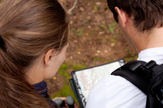
The course runs in all weather, so clothing is part of your preparation. The Peak District can feel exposed, and conditions can change during a day on the hills. The advice to dress appropriately is not a formality.
Bring layers, waterproof clothing and sturdy footwear. Those are sensible choices for any hill day, though the supplied information does not set out a full kit list. A map and compass may be used during the course, but the details do not confirm what equipment is supplied, so ask Pure Outdoor if you need to know what to bring.
The activity starts and ends at Bamford. That is convenient if you are staying in the Hope Valley or using public transport, and the location has parking according to the available course information. Your booking confirmation should provide the final meeting details.
Service animals are allowed, and the activity is described as suitable for most participants. One instructor has been praised for supporting a participant who was deaf and relied on lip reading, which suggests a thoughtful approach to individual needs. If you have a specific access requirement, contact the provider before booking rather than relying on general participation guidance.
Confirmation is normally issued at booking. If you book within seven days of the date, confirmation may arrive within 48 hours, subject to availability. You can cancel for a full refund up to 24 hours before the start time. A cancellation inside that window is not refundable, and the course may be rescheduled or refunded if the minimum group size is not reached.
Who will get the most from this course
This is a good match for you if you want to start walking without depending on a phone signal or a downloaded route. It also suits people who learned map reading years ago and want to rebuild confidence before tackling more demanding hills.
It should work well for a small group of friends, couples or families with an interest in walking. The shared exercises give the day a social side, while the maximum of eight keeps it from feeling crowded.
It is less suitable if you want a relaxed guided ramble with little instruction. You will spend time learning, stopping, checking and trying again. That can be satisfying, but it is different from simply following a guide along a scenic route.
It is also not the right choice if you want a qualification in one day. The course gives you an introduction to the fundamentals. If you later want formal accreditation or advanced skills, you would need a longer course.
The strongest praise for the teaching focuses on confidence. That is the real test here. You should finish with a clearer idea of how maps, grid references and a compass work together, plus a better sense of how to continue practising.
Should you book the Bamford navigation day?
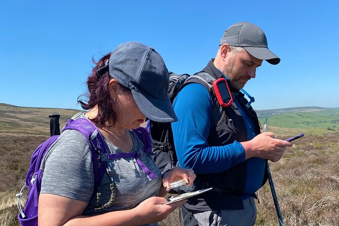
Book it if you want a practical introduction to map and compass skills in a real hill setting. The small group, nearby outdoor practice and instructors such as Gavin, Paul, Guy, Richard and Rick give the course a personal feel, though the instructor on your date is not guaranteed.
At $136.73, the day is worth it for a beginner who wants to make future walks safer and less stressful. Bring lunch, expect all-weather conditions and arrive ready to take part rather than simply admire the Peak District views.
Skip it if you are looking only for a scenic day out or already navigate confidently. For everyone else, this is a sensible first move toward planning your own routes.
FAQ
Where does the map reading course start?
The course starts at the Adventure Hub meeting point in Bamford, Hope Valley, S33, England.
What time does the course begin?
The start time is 9:30 am.
How long does the experience last?
It lasts approximately one day and ends back at the original meeting point.
Is lunch included?
No. Coffee and tea are included, but you need to bring or arrange your own lunch.
Does the course run in bad weather?
Yes. It operates in all weather conditions, so you should dress appropriately for outdoor hill walking.
What is the cancellation policy?
You can cancel up to 24 hours before the start time for a full refund. Cancellations or changes made less than 24 hours before the start are not accepted for a refund.
Recently added around England
- Brighton to Heathrow Airport private taxi transfers★ 5.0 · 8 reviews
- London’s Crown Secret: Self-Guided Royal Puzzle Quest★ 4.5 · 8 reviews
- The Condensed Canterbury Tour★ 5.0 · 8 reviews
- Postcard London★ 5.0 · 8 reviews
- Private Tour: Downton Abbey London Locations by Taxi★ 5.0 · 8 reviews
- Windsor Castle, Stonehenge & Roman Baths Private Tour★ 4.5 · 8 reviews
- CS Lewis & Tolkien Tour with Magdalen Entry Public tour 13.45★ 5.0 · 8 reviews
- Cotswolds Private Driving Tour from London★ 5.0 · 8 reviews